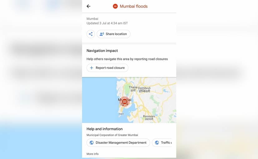
An annual event now, the city of Mumbai finds itself coming to a halt every time the rain gods are a little more generous than usual. The city’s crumbling infrastructure can barely handle its population, it certainly does not have space to accommodate more water or the means to channelise it efficiently into the Arabian sea. In the recent spell of showers, the city reportedy one of its highest rainfalls at 375.2 mm since 2005 that not only flooded most of the low lying areas but also disrupted public transport services and the roads. For those commuting then, it is imperative to know which areas are flooded and which aren’t in Mumbai. To make things easier, Google Maps has been updated with a new feature that allows users to check for waterlogged areas and look for alternate routes instead.
The waterlogged areas and road closures are updated by users for realtime details
The Mumbai Floods feature on Google Maps operates on user data and allows users to report of water logged sections and closed roads across the city. The app users can select from a number of reasons for reporting road closure including a crash, roadworks, local event, nature or any other reason. You have to also select the exact location along with other relevant details like the date and time as well as the direction of traffic flow to update the system. The area will then be marked on Google Maps with the data helping other road users to navigate with ease.
The Mumbai Floods update is available on both Android OS and iOS devices. Earlier this year, the tech giant also introduced new features on Google Maps for India including identifying speed cameras on public roads that definitely helps in not getting a speeding fine. More recently, the Stay Safer feature was added that allows you to inform friends and family on your live location, route and cab details. The latter though is only offered on Android devices for now.
Source: Read Full Article

