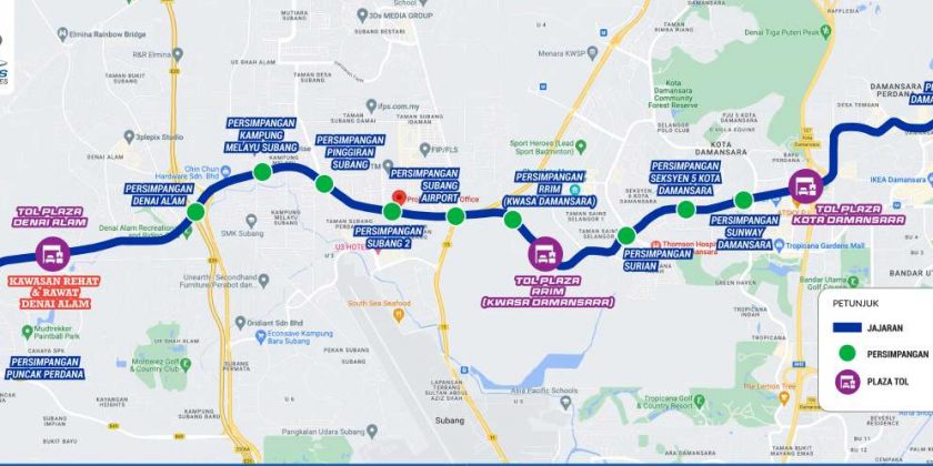
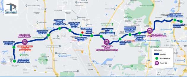
The Damansara-Shah Alam Elevated Expressway (DASH) highway will be officially launched soon, as the highway’s social media accounts have started teasing an impending opening with messages saying the highway would be on Google Maps and Waze soon.
The new DASH highway is a 20.1 km long highway with 13 interchanges. It starts from Puncak Perdana in Shah Alam and ends in Penchala in Damansara.
The following is a list of the DASH interchanges:
- Puncak Perdana
- Alam Suria
- Denai Alam
- Kampung Melayu Subang
- Pinggiran Subang
- Subang Dua
- Subang Airport
- RRIM (Kwasa Damansara)
- Surian
- Seksyen 5 Kota Damansara
- Sunway Damansara
- Damansara Perdana
- Penchala
The DASH highway includes connectivity to other Klang Valley highways such as the Guthrie Corridor Expressway (GCE), NKVE, LDP, and SPRINT’s Penchala Link.
The toll fare for the DASH highway has yet to be announced. If we are lucky, we might see a toll-free period when DASH is opened just like when the SUKE highway was opened.
Are you a road user who will benefit from the opening of the DASH highway? Share your thoughts on the highway in the comments!
Source: Read Full Article

